95.5K
Downloads
229
Episodes
In Common explores the connections between humans, their environment and each other through stories told by scholars and practitioners. In-depth interviews and methods webinars explore interdisciplinary and transdisciplinary work on commons governance, conservation and development, social-ecological resilience, and sustainability.
Episodes

Monday Feb 26, 2024
FFM #3: Mapping coastal fisheries with Paige Roberts
Monday Feb 26, 2024
Monday Feb 26, 2024
This is the third episode in our Future Fisheries Management series, which we are running in collaboration with the Mercatus Center at George Mason University and the Center for Governance and Markets at the University of Pittsburgh.
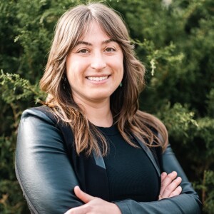
In this episode, Michael speaks with Paige Roberts, a fisheries ecologist and geographic information systems, or GIS, expert who is currently an independent consultant after working for nine years for the One Earth Future Foundation, an organization that specializes in finding sustainable solutions in fragile and conflict-affected settings. During her time with One Earth, Paige was closely involved with Project Badweyn in the country of Somalia. Through this project Paige and her colleagues created a free online tool to map out Somali coastal resources and fishing activities to help a range af actors better understand interactions between human activities and the environment. Michael and Paige discuss this project as well as efforts of of the One Earth Future Foundation to promote the sustainability of coastal fisheries through a co-management approach. The conversation concludes with a discussion of Paige’s next steps since leaving the One Earth Foundation.
References:
A summary of Project Badweyn: https://oneearthfuture.org/en/secure-fisheries/project-badweyn-mapping-somali-coastal-resources-0
Paige describing Project Badweyn: https://www.youtube.com/watch?v=UU2fCo6Y1JU
GIS resources that Paige shared after the interview:
Esri makes some of the most popular GIS software. It's a subscription service, but you can get a personal license for around $100 for a year, which gives you access to ArcGIS Pro Software, ArcGIS Online, and the self-paced online training which has a slew of training modules from beginner to advanced. The ArcGIS Pro software is fairly intuitive once you learn the basics of GIS.
For a free option, QGIS is an open-source GIS software with all the same capabilities as ArcGIS but in a slightly less intuitive interface. It's widely used so there are ample resources online including its own Training Manual. There are many other free resources online and a quick Google search can get you anything you need, from blogs to videos on beginning to advanced techniques and troubleshooting.

Comments (0)
To leave or reply to comments, please download free Podbean or
No Comments
To leave or reply to comments,
please download free Podbean App.